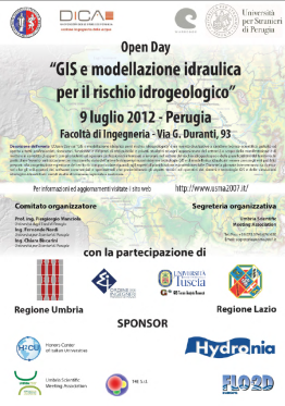
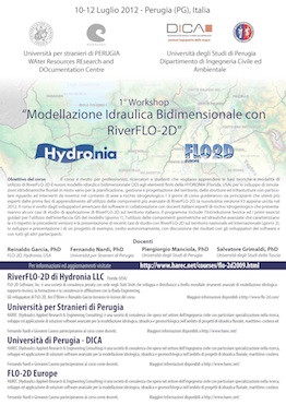
Welcome to the “GIS and hydraulic modeling for flood risk assessment” website.
The Open Day on “GIS and hydraulic modeling for flood risk assessment” is a free, informative, technical-scientific event, open to everybody: professionals, researchers, officials and executives of public and private institutions, students and any passionate about the topic. The purpose of the event is to bring together experts with students and young professionals interested in working in the field of hydrogeological risk and risk assessment and planning. In particular, the event will be an opportunity to show the state of the art and research advances on new GIS systems and technologies, and hydraulic modeling used by public authorities responsible for planning and land management with special attention to aspects regarding land planning and civil protection. During the day, both, researchers and commercial software developers will intervene to present the technical and operative aspects of GIS systems and technologies and study cases of hydrologic-hydraulic simulation of regional and national interest.


